A year has passed after the tragic events having followed the natural disaster of June 13, 2015.
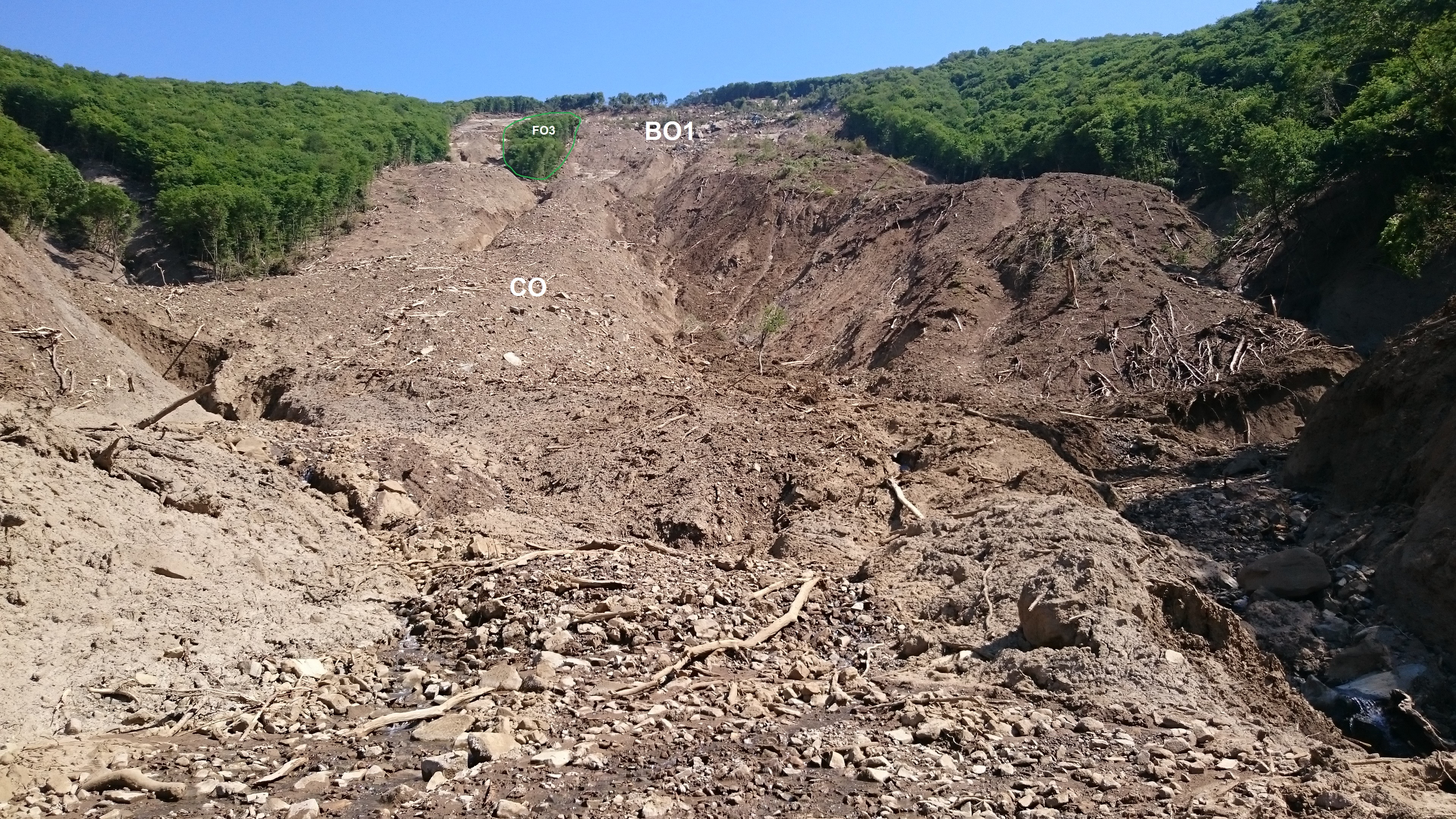
In June 13, 2015, at night, a landslide occurred in the vicinity of Akhaldaba, at the Vere Gorge; the landslide ended up causing mudflow. The Institute of Earth Sciences of Ilia State University (ISU) was actively involved into the multidisciplinary survey of the landslide having hit the gorge. Through geophysical, geological and geodesic methods, we tried to evaluate the area of the landslide activity, determine the amount of debris and the number of vulnerable regions. Our account is presented below:
The only cause of flood on the river Vere and, in this instance, one of the main causes of the landslide in Akhaldaba proves to be the rainfall. On June 13, the excessive rainfall in the short time span triggered the landslide in the gorge. In addition, in the wet soil, the water reached its possible acceptable amount and in the wake of this, the river Vere overflowed.
Relying on the data from the NASA and JAXA Global Precipitation Measurement (GPM), The ISU Institute of Earth Sciences conducted the remote sensing analysis. As a result, it became possible to measure the amount of rain before and during the landslide, and in this way, restore the big picture to figure out how the landslide was stimulated.

